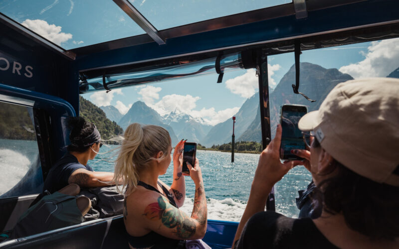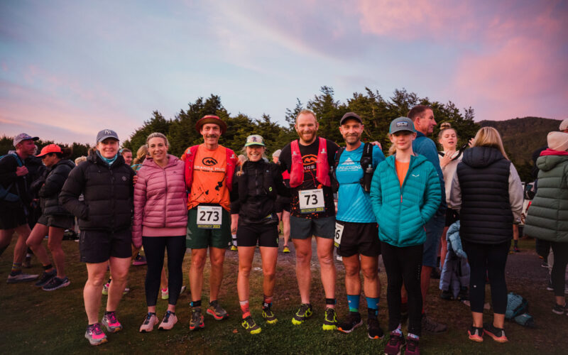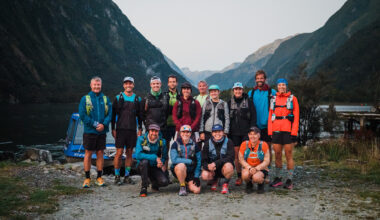
An impromptu crossing of the Routeburn Track, from the Divide to the Routeburn Shelter, with Sacha. It’s my first time completing the 33km Great Walk and an offer to relocate a couple of cars for multi day hikers was just too good to turn down. A big day out completing the track in a single effort, with lots of driving (almost 6 hrs!), but such is the nature of this track and it’s start/finish locations. Grateful for relocations, making the logistics of a tricky point-to-point mission so much easier to organise!


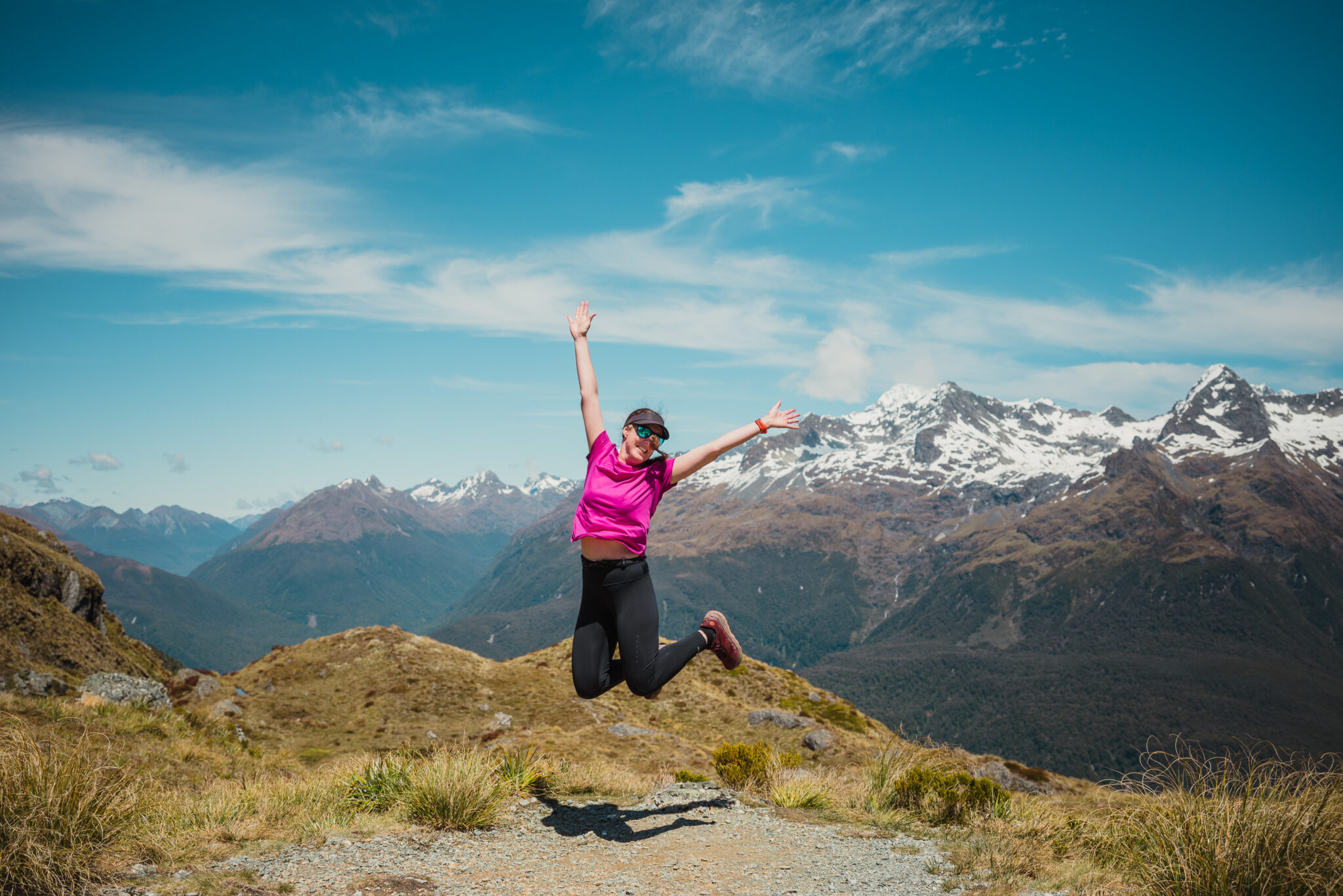
So lucky. The Routeburn Track might now be my new favourite Great Walk! 33km of beautiful beech forest, crystal clear rivers, alpine gardens, bluffs, and waterfalls.
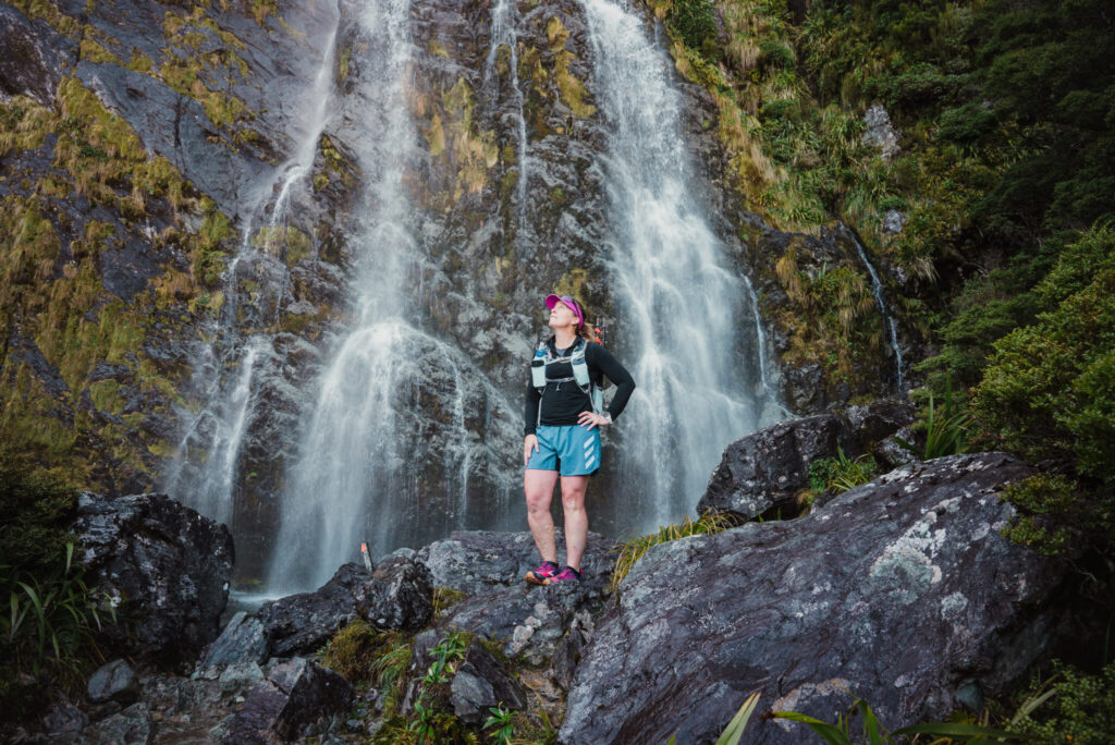
Earland Falls, just 3-4km from our start at the Divide. The sheer size and absolute roar of it… powerful and majestic. You can hear it well before you see it and then you step up onto the giant rock you feel it’s spray. You’re so damn close. The falls too big (174m) to fit it in a single photo – just amazing and worth an out and back if you are pressed for time or fitness.

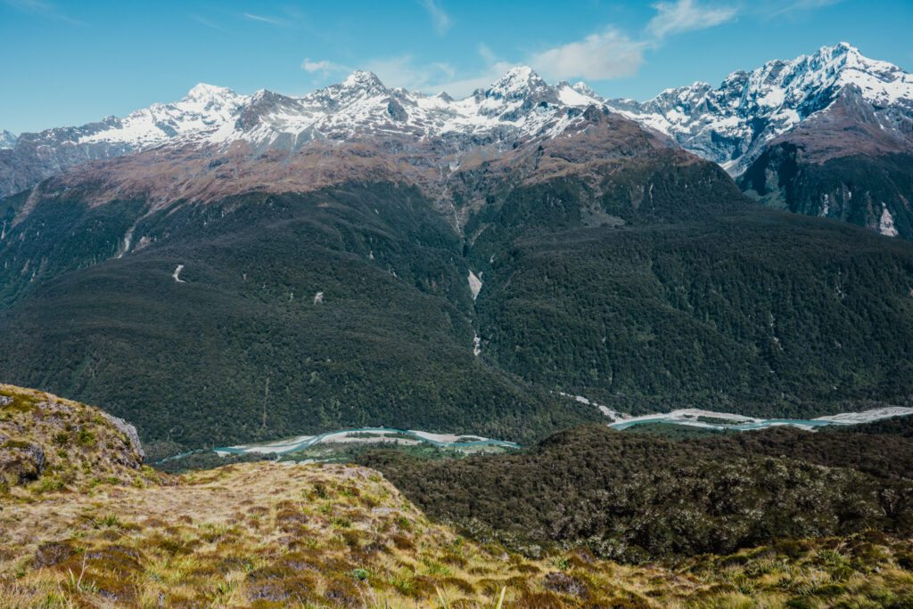
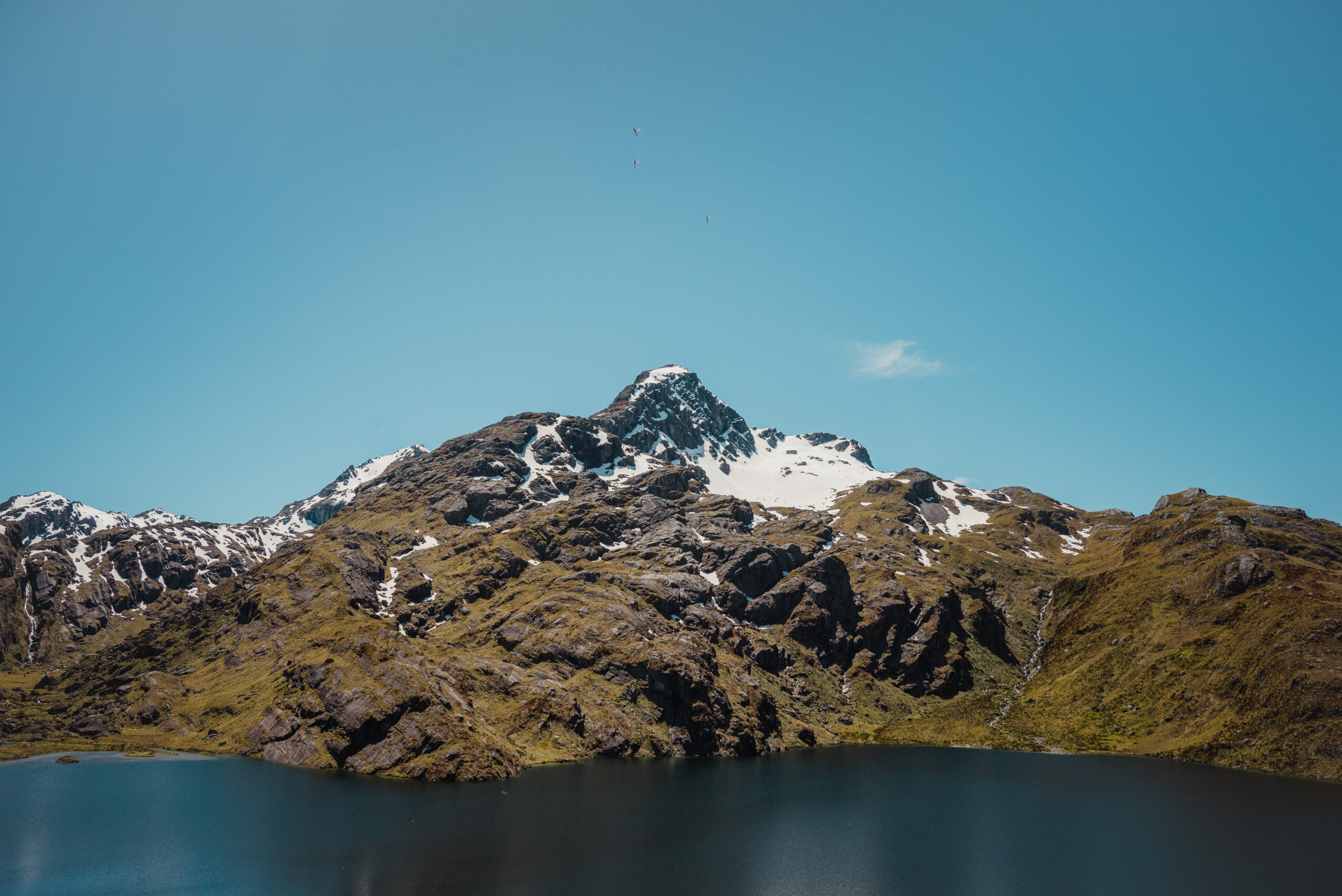
We could not have asked for a better weather and we knew when we got to Lake Mackenzie, set against the backdrop of Harris Saddle and perfect blue skies, that we were in for some majestic views across the top.
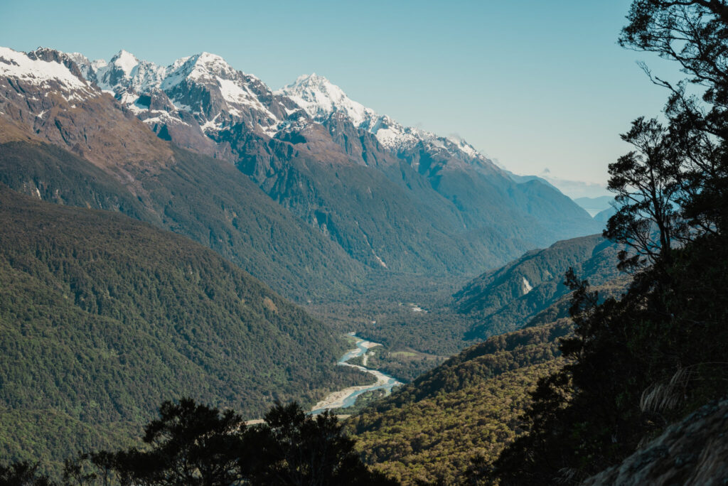
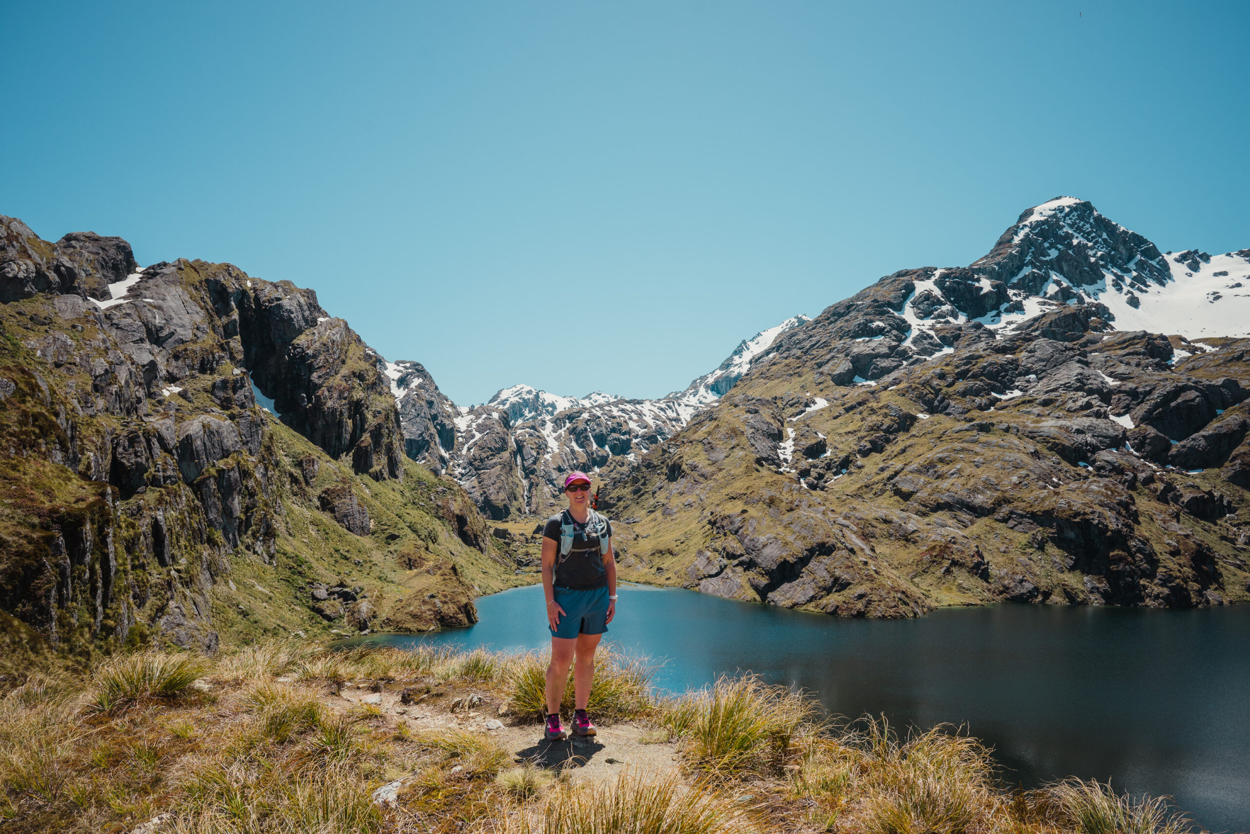
A steady climb through the beautiful alpine gardens, with views down into the lake over our right shoulders. We follow a switchback around to our left, seemingly walking in the wrong direction, Harris Saddle now positioned behind us. This section of track is busy with hikers, most having left Mackenzie Hut and on Day 2 of their Great Walk. They move slowly with their big packs and we try and scoot past them, eager to keep pace and avoid a crowd at the top. We get to where the track meets the sky and curves back around to face the ‘right’ direction once again. Breathtaking and expansive views over the Darran Mountains and down into the valley the river. We walk along the exposed Hollyford Face stopping to take photos and trying to spot recognisable landmarks along the Lower Hollyford Road. This stretch is deceivingly long and we both imagine bloody awful in bad weather or high winds.


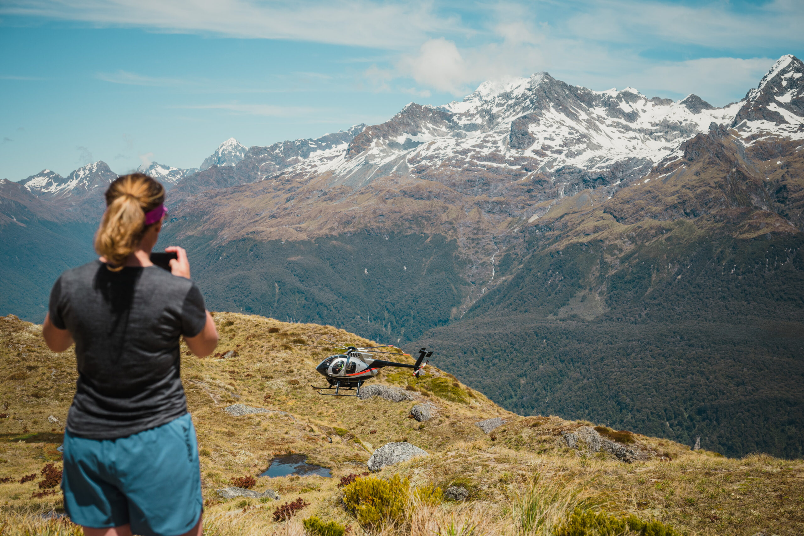
We reach Tarahaka Whakatipu Shelter just as a helicopter circles and lands on the helipad to pick up one of its crew. Imagine the views from one of those!
Dropping our gear we sit and enjoy I guess what you could call our lunch. Across the way we spot a few people on the stairs to Conical Hill and wish we had time to skip across and tick off that side mission too. Another time when we are not pushed for time. A few more photos against this glorious backdrop and we have to get moving once again.
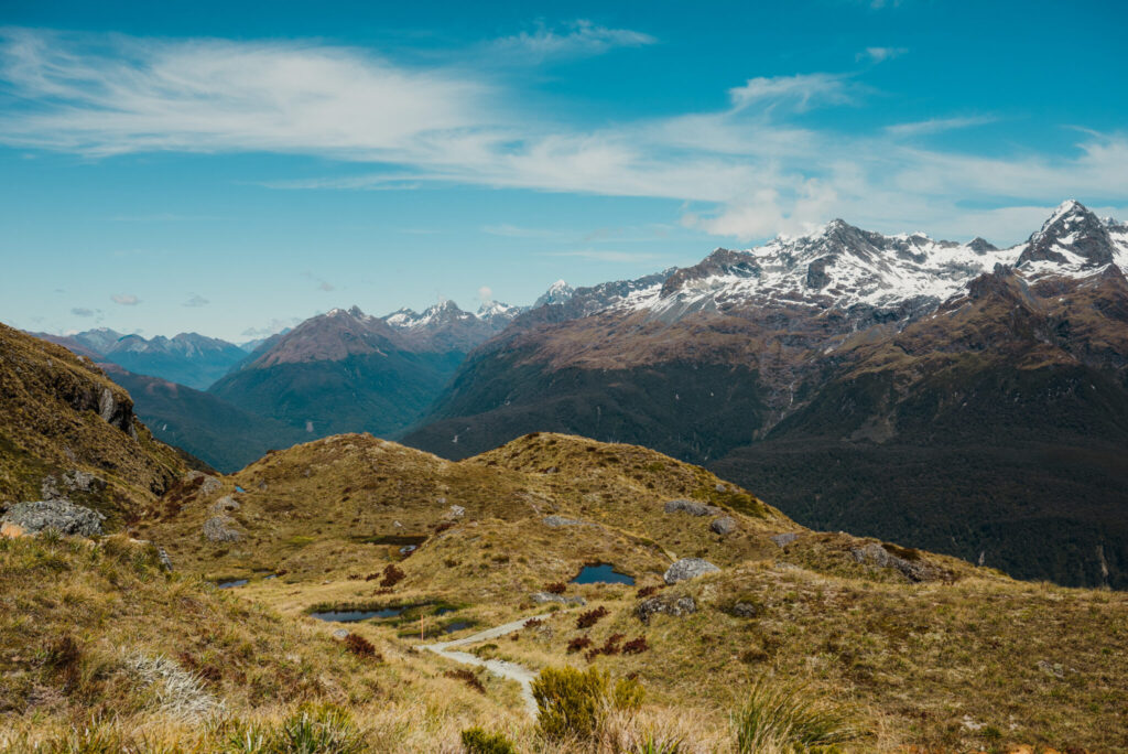


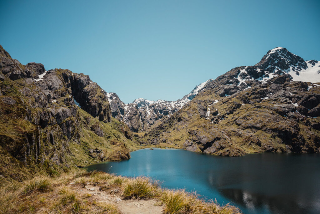
It’s only a short climb from the shelter to get to Harris Saddle and the highest point on the track (1,255 m) We slide along the bluffs just above Lake Harris, it’s intense teal blue water hardly looks real. Sacha points out some of the Lord of the Rings set locations on the far side of the lake as we descend the steep rocky trail down into the valley. Beautiful and expansive tussock-covered flats now stretch out into the distance. More LOTR featured landscapes. It’s easy to see why.
Routeburn Falls cascade welcomes us to the Routeburn Falls Hut. It’s hella rocky here, but void of people. We’ve turned up in that window of time between one group of hikers leaving and the other yet to arrive. We have a poke around the Hut and a quick chat with the Warden.
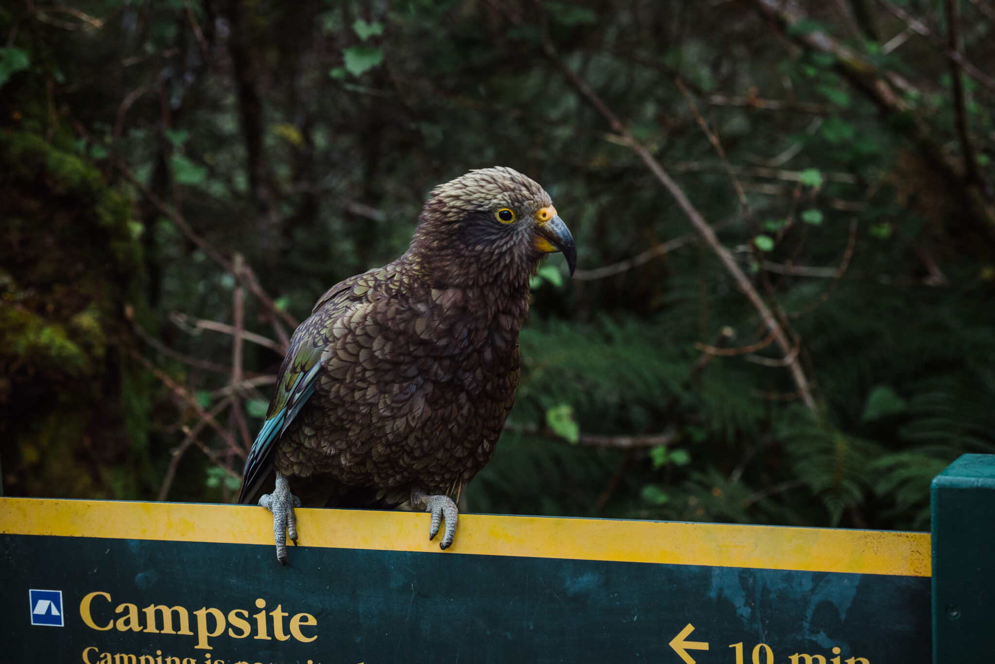
The next section is beech forest. Lots of it – thankfully broken with views of the Humboldt Mountains. Deep in conversation we make it to the Routeburn Flats Hut and Campsite turn off, but just want it to be done now. After the literal high of the alpine section, this feels a bit same same. Fatigue is setting in too, making it harder to appreciate the details of the bush.
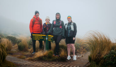
The track winds gently alongside the clear Route Burn (river) until finally, cars can be spotted through the trees. One last bridge before we pop out at the Routeburtn Shelter. A group of hikers ask if we would take a photo for them at the sign; they return the favour. We wander up to the shelter and feast on the last of our snack bars. A change of clothes and into some comfier shoes before we scout the carpark for our allocated cars. An absolute banger of a day with the best company. Love it when I get to spend time in the mountains with Sacha. Now a long ride home… possibly via the servo for some chips and a coke!
33km trail. 1386m Elev.
And 495km of driving.